DroneSense.AI C2 System
Integrate any C-UAS device into multi-layer, city-scale airspace protection
Open command-and-control that connects RF, radar, EO/IR, sensors, and third-party sensors through APIs—orchestrating multi-site coverage so agencies can protect an entire city’s airspace with one operational picture.
Highlights
- City-scale, multi-site protection—one C2 picture across districts, campuses, and critical nodes
- Open API integration so any counter-drone device can join the same layered defense stack
- Multi-layer orchestration: detect, confirm, decide, and authorize response without ripping out existing sensors
At a Glance
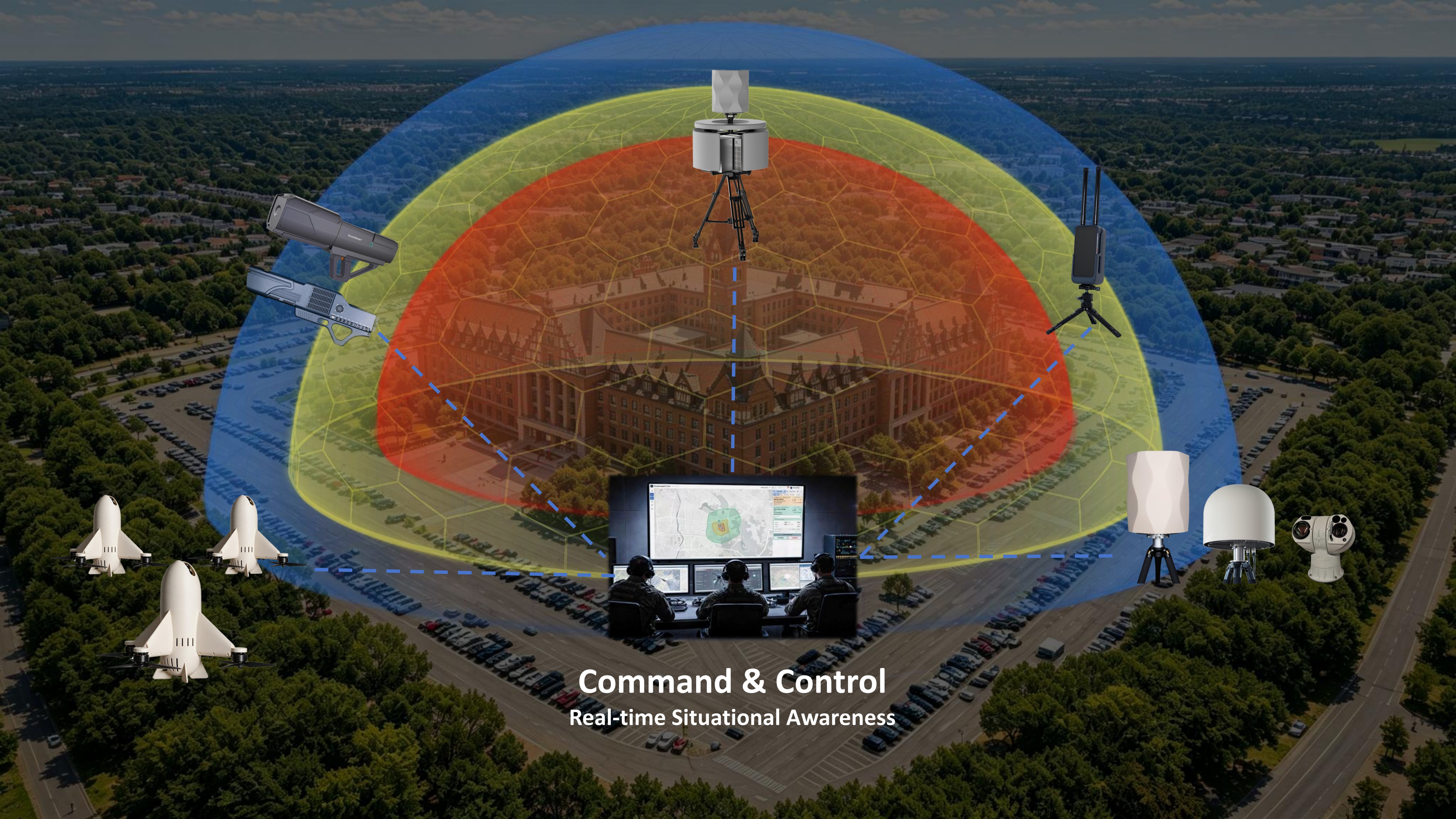
DroneSense.AI C2 System is built to unify heterogeneous counter-UAS equipment—DroneSense.AI sensors and sensors plus third-party RF, radar, EO/IR, and response systems—into one command layer. Open APIs and modular connectors let agencies keep investments they already own while expanding coverage site by site.
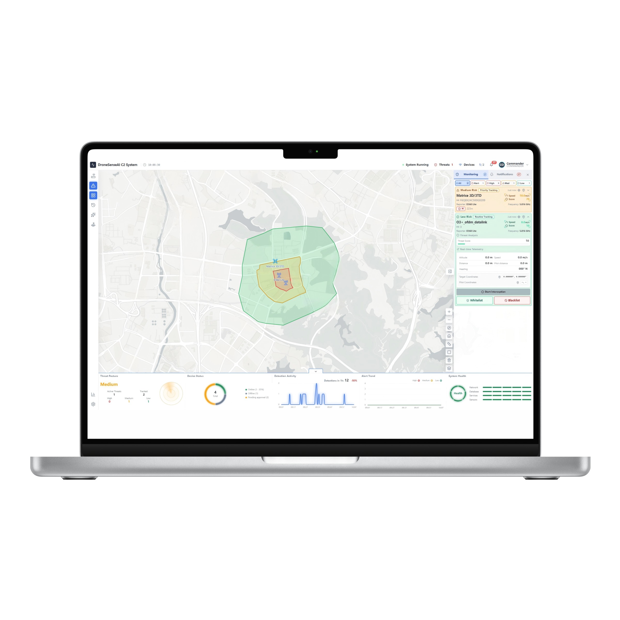
Operators see a fused airspace picture across multiple posts: tracks, geofences, alerts, and authorized workflows from early warning through confirmation and graduated response. That model scales from a single facility to city-level sky security, with shared rules and evidence across the network.
Multi-layer protection
Orchestrate detection, confirmation, and authorized response as stacked layers—integrating diverse devices into one city-ready C2 workflow instead of isolated point products.
Geo-fencing
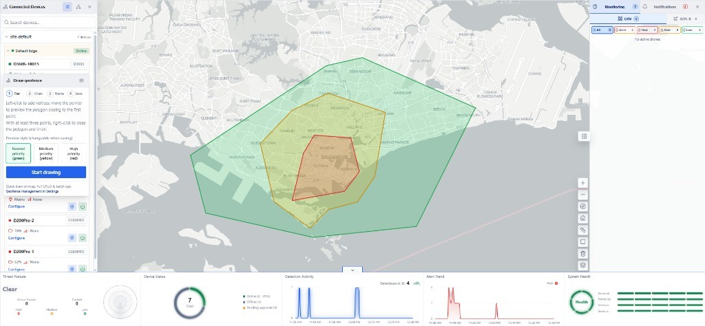
Draw multi-tier priority zones directly on the live map—Normal, Medium, and High—then name and save polygons that drive alerts as tracks enter or leave each fence.
Detection Report
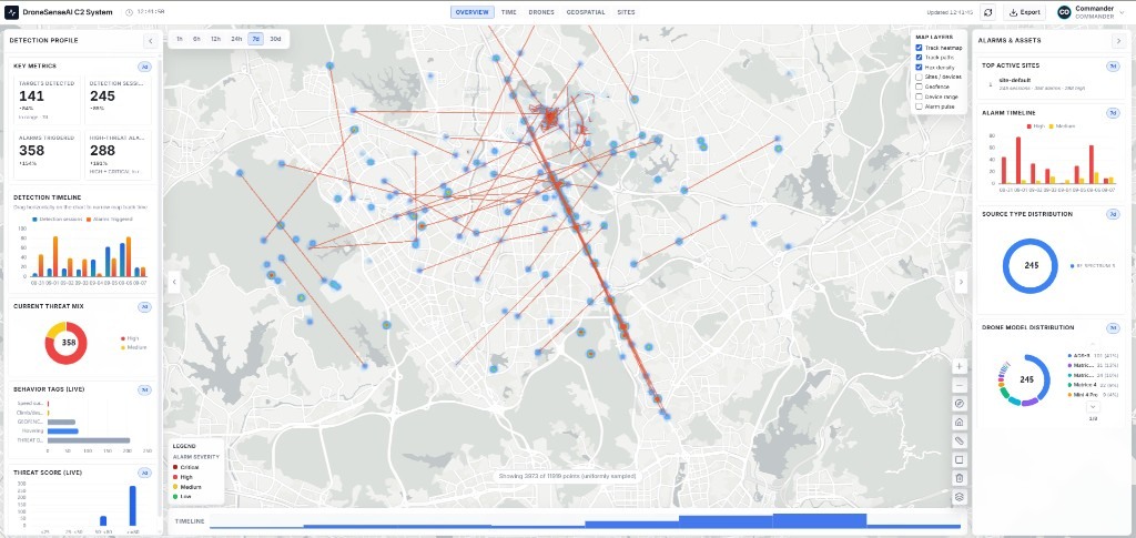
Review detection sessions, alarm severity, flight paths, and drone-model mix on one overview—filter by time window and export evidence-ready analytics for commanders.
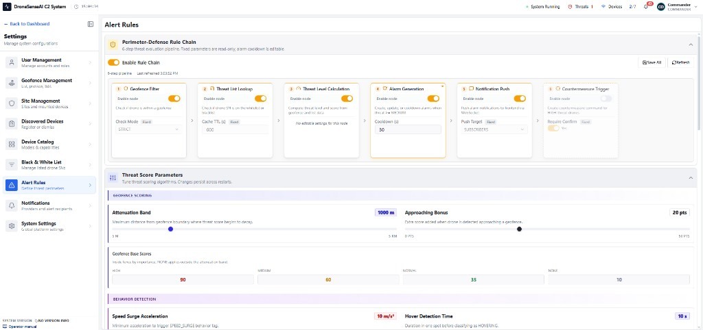
Alert Rules
Configure a perimeter-defense rule chain—from geofence and list checks to threat scoring, alarms, notifications, and optional response workflows—with tunable geofence and behavior parameters.