Open C2
Integrates DroneSense.AI sensors with third-party detect, track, and mitigate systems through an open API.
SOLUTIONS — INDUSTRY APPLICATION
One overview. Two deployment models. Six industry playbooks.
DEPLOYMENT MODELS
Field coverage where the mission requires it—standing posts, or kits that move.
DOMAINS
Six domain playbooks—from airports to VIP protection—each with a dedicated detail page.
Persistent coverage for facilities that require continuous airspace awareness.
Integrates DroneSense.AI sensors with third-party detect, track, and mitigate systems through an open API.
Detect → Track → Identify on a shared common operating picture.
Grows from a single perimeter to multi-site or city-wide coverage without replacing sensors already in the field.
Rapid and on-the-move coverage for short mission windows and shifting footprints.
Handheld, tripod, or vehicle-mounted kits stand up within the mission window.
Offline single-operator operation for sensitive missions, or a networked multi-post mesh when shared coverage is required.
Keeps mixed sensor types under one command workflow and alert path.
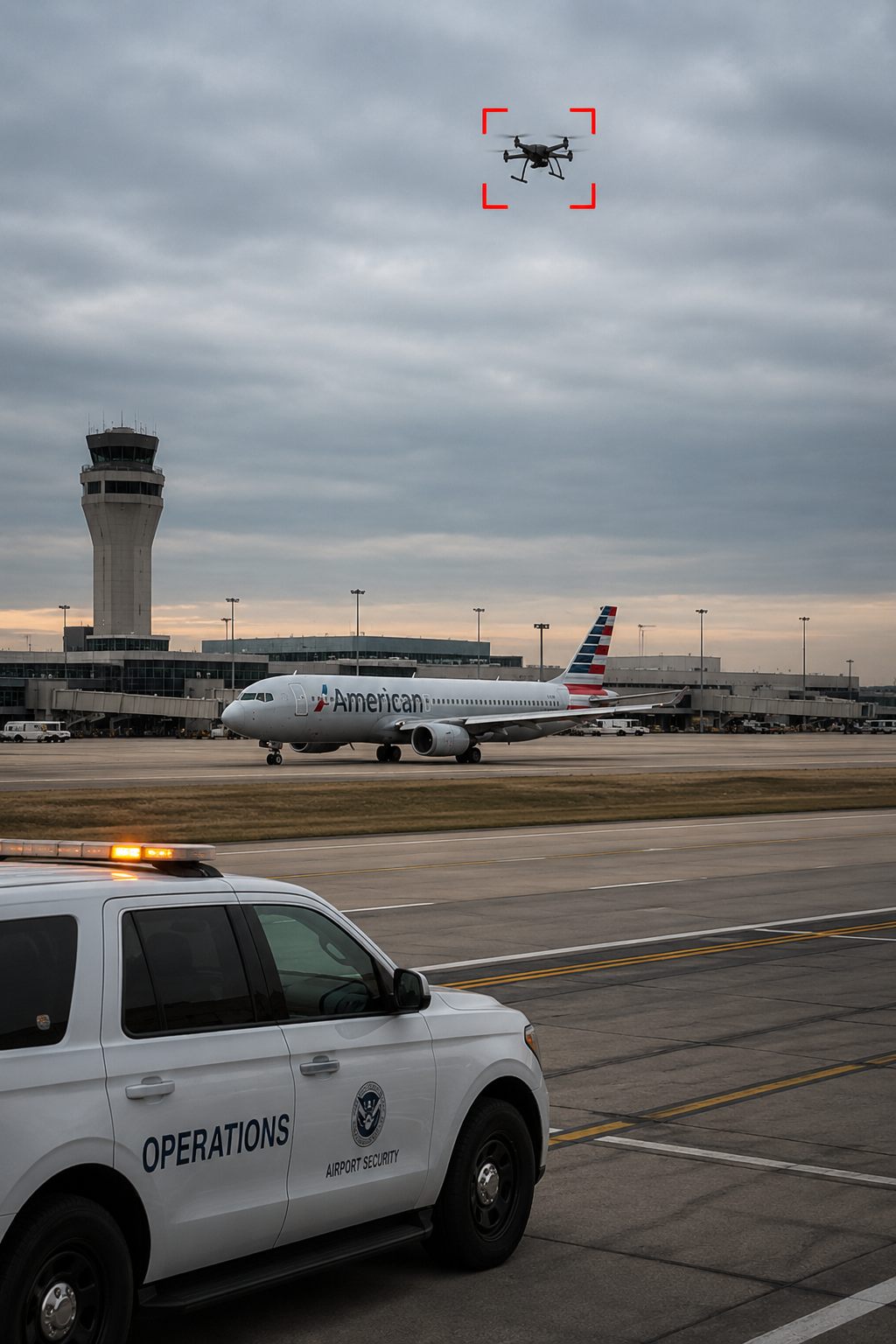
Persistent airside awareness against unauthorized UAS near runways, approach paths, and terminal operations.
Unauthorized UAS activity near busy airports can force diversions, ground stops, and cascading delays—often before airside security and ATC share a common air picture.
Persistent C-UAS coverage enables earlier detection, a shared picture for ATC and airside security, and reduces the chance that a brief sighting escalates into network-wide disruption.
* Under favorable conditions, unobstructed environment
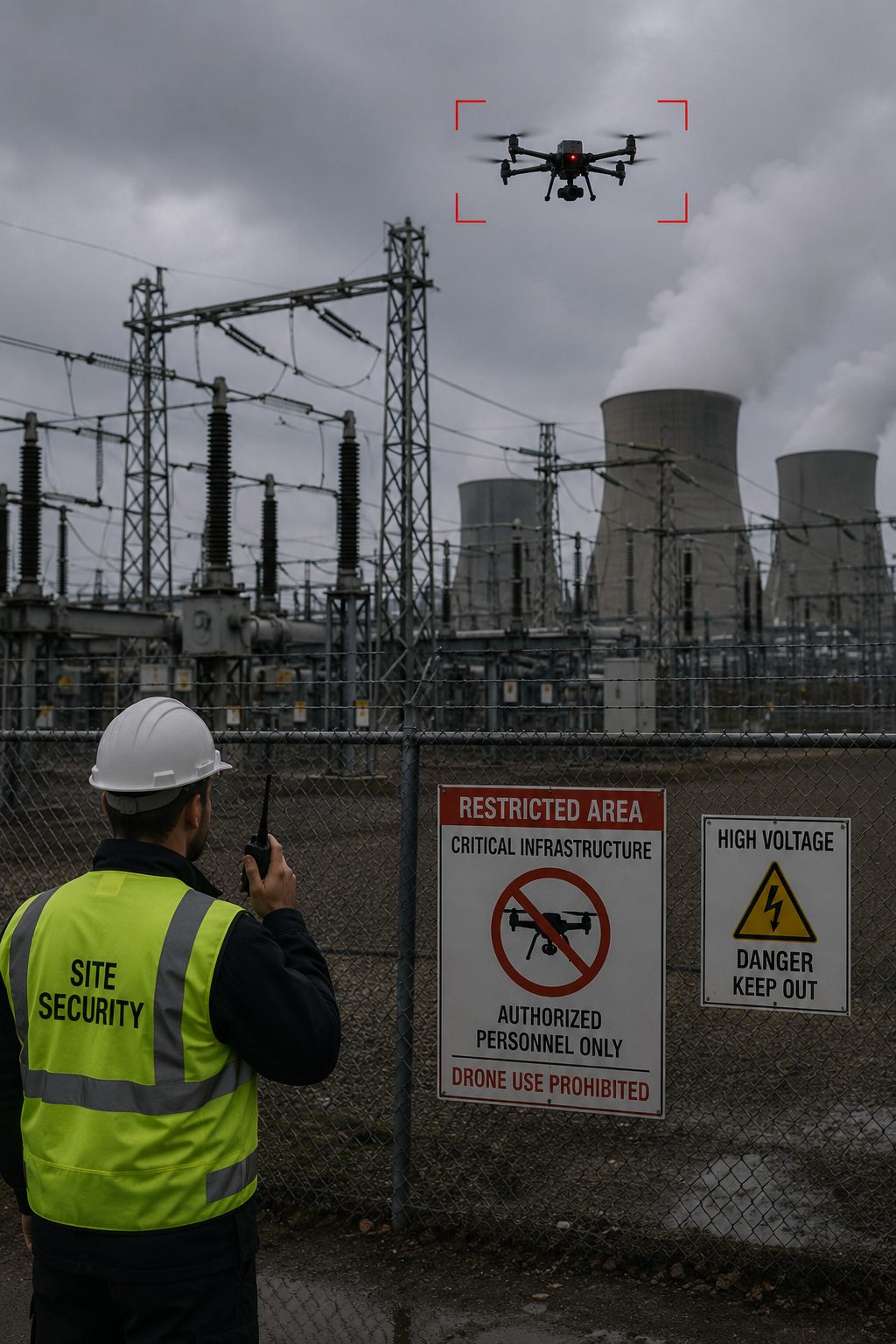
Always-on perimeter awareness for energy, industrial, and utility sites.
Energy, industrial, and utility sites face espionage, sabotage, and safety risk when small UAS approach hazardous or high-value assets—often at remote or sparsely staffed locations.
Persistent RF and multi-sensor coverage at the perimeter, fused in the DroneSense.AI C2 System, keeps operators ahead of the threat envelope and leaves an auditable record for operations and compliance.
Power, oil and gas, mining, and process facilities that need continuous perimeter awareness.
High-value compute campuses where unauthorized aerial access is both a security and privacy risk.
Utilities and civic infrastructure that must remain auditable for operators and regulators.
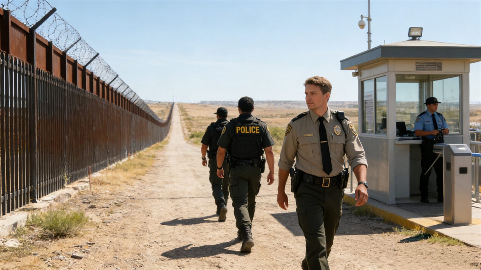
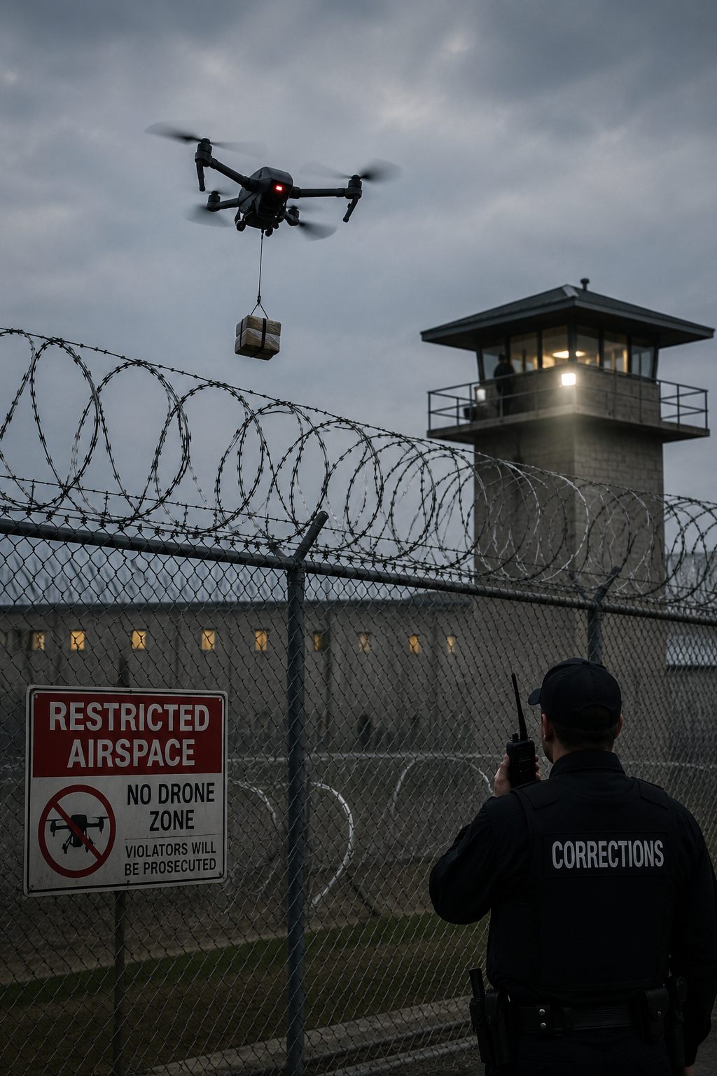
Coverage for remote corridors, checkpoints, and correctional perimeters.
Borders and remote corridors see UAS used for smuggling and reconnaissance across long, sparsely manned segments where backhaul and staffing are limited.
Fixed or semi-fixed RF nodes, rugged offline-capable sensors, and the DroneSense.AI C2 System give patrol units actionable cues across wide areas—portable kits close gaps when teams reposition.
Focused coverage where traffic, terrain, and restricted airspace converge.
Long segments that require expeditionary or low-backhaul sensing.
Facilities that must separate unauthorized aircraft from authorized public-safety flights.
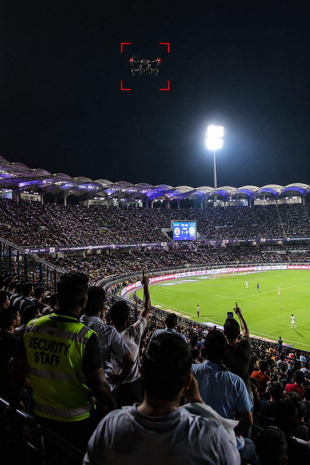
Temporary or hybrid coverage for stadiums, festivals, concerts, and summits—fixed posts where the footprint warrants, mobile kits where teams move.
Stadiums, festivals, and civic gatherings concentrate people and attract unauthorized aerial filming or disruptive UAS—often on short notice and in airspace already shared with authorized flights.
Mobile kits stand up with the event window; temporary fixed nodes cover larger footprints. Alerts feed event security command through the DroneSense.AI C2 System, with geofencing and whitelist controls.
Match-day and concert footprints with dense crowds and strict no-fly expectations.
Open-field or urban venues that need portable coverage and fast redeployment.
Short-duration VIP or public assemblies that combine mobile and temporary fixed posts.
Shared detection for agencies confronting smuggling, facility surveillance, and mixed public-safety airspace.
Agencies face UAS used for smuggling, facility surveillance, and interference with public-safety aviation—including Drone as a First Responder programs that put friendly aircraft in the same sky.
Officers receive a shared detection picture and clear follow-on cues. Mobile kits support patrols; the DroneSense.AI C2 System keeps command, precinct, and field units aligned under local policy.
Coordination with police and first-responder aviation during incidents.
Civic sites that need mobile surge coverage during elevated threat periods.
Sensitive public sites where low-interference, policy-led response matters.
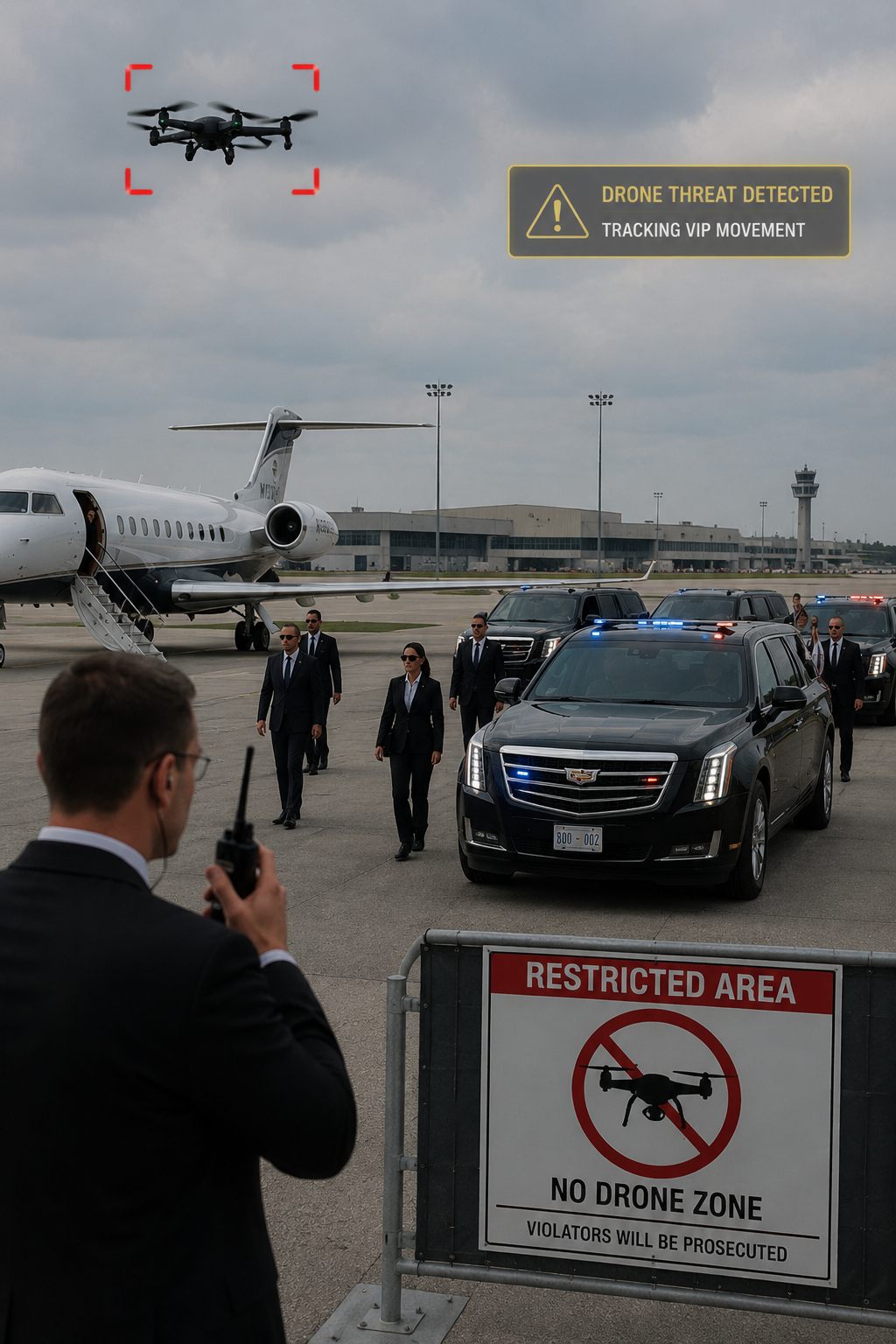
Vehicle-capable and temporary-site awareness for protectees and motorcades.
Protectees and motorcades can be filmed, tracked, or disrupted by small UAS that are hard to spot visually until they are close—often while the detail is moving between venues.
Vehicle-capable RF detection covers movement; temporary posts cover venues. The DroneSense.AI C2 System coordinates the protective detail with an interface built for time-critical use.
On-the-move detection while the protective detail is en route.
Temporary posts at hotels, halls, and secure compounds.
Short-notice coverage that stands up and tears down with the schedule.
Last updated: 9 September 2026
This short notice explains how DroneSense.AI handles limited technical and contact data on www.dronesenseai.de. It is not a full privacy policy; we may expand it as our practices mature.
DroneSense.AI is operated in Germany by ALKO Solution GmbH. Contact: info@dronesenseai.de · Von Stauffenberg 11, 36037 Fulda, Germany.
We do not turn on visit analytics by default. After you choose Allow optional (or enable Analytics in Preferences and Save), our first-party script may store a random visitor ID in your browser and send page path, referrer, screen size, and language to our server. The server also records IP address and user-agent.
We do not use advertising cookies or third-party marketing trackers on this site.
If you choose Decline, close the banner, leave Analytics off in Preferences, or never allow optional cookies, we do not send visit analytics beacons from your browser.
When you submit an inquiry, we process the information you enter (such as name, work email, organization, job title, country, and message) to respond to your request. We also store technical logs such as IP address and user-agent for security and operations.
Submitting a form is separate from visit analytics: the form works whether or not you Accept optional analytics.
Records are stored on systems we operate (or that process data for us) and are accessible only to authorized staff for support, sales follow-up, security, and site improvement.
As a working baseline we aim to retain visit analytics for up to 24 months, and inquiry records for as long as needed for the business relationship and legal obligations, then delete or anonymize them.
Use Allow optional, Decline, or Preferences on the banner, or Cookie preferences in the footer, to change analytics preference on this browser.
Closing the banner without allowing optional cookies means no visit analytics. Preferences → Close without Save leaves your previous choice unchanged.
To ask about inquiry data we hold, or to request correction or deletion where applicable, email info@dronesenseai.de.